
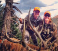
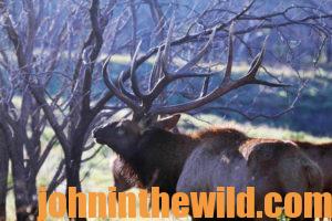
 Editor’s Note: Donnelle Johnson of Franktown, Colorado, is an elk-hunting fanatic and has been hunting elk since 1998. When she’s not hunting and calling in elk for herself, she goes with friends and family members and calls in bulls for them. “I just love to be in the woods hunting, calling and trying to outsmart Colorado bull elk on public lands,” Johnson says. “My husband, David Johnson, and I moved to Colorado then. Dave started going elk hunting with his boss in 1991. For the next 5 years, they’d hunt together. In 1997, I went on my first elk hunt with Dave, and we went to the place where Dave’s boss always had taken him to hunt elk. I chased cows around, trying to get a shot with my bow, even though I had a tag that would allow me take a bull or a cow. From Dave’s experience, we founded our company called Hunt Data (http://www.huntdata.com/).”
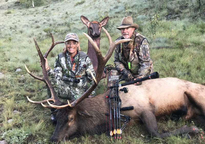
 Avid hunter, Lisa Thompson, Donnelle Johnson’s longtime friend says, “Donnelle and I hunt together, and love to hunt elk too. In recent years, I’ve relied on my cell phone as my GPS. I also work with Donnelle and Dave Johnson’s company HuntData, www.huntdata.com, and HuntData loads on software called PDF maps. So with my phone, I can see a map of the unit where I’m hunting, the spot where I’ve left my truck, and my position where I’ve downed my elk. I can drop pins all along the route on the map on my cell phone. This app has a backtrack device that will allow me to follow the same route out of the woods that I’ve taken into the woods. The app and the maps are all satellite-driven and have nothing to do with cell towers. So, even when I’m out of range of a cell tower for my phone,
 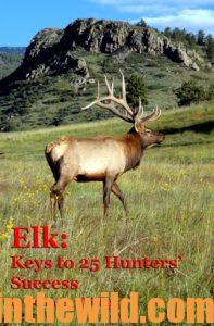 I can look at the map. I can see where I am, and where the truck is. I can follow the waypoints I’ve left to walk the same track back to the vehicle that I’ve walked to the spot where I’ve taken the elk. I’ve turned my cell phone into a hunting GPS, but I still carry my Garmin (www.garmin.com/en-US/) also. These PDF maps, that you can find at www.avenza.com/pdf-maps, are free and can load to smartphones. You can get more info about the maps and how to load them at www.huntdata.com.”
To learn more about hunting elk, check out John E. Phillips’ book, “Elk: Keys to 25 Hunters’ Success,” available in Kindle, print and Audible versions at https://amzn.to/2IDszQk
You may also enjoy:
 The Life and Finances of a Tournament Bass Fisherman with Mark Menendez Day 3: Understanding How Professional Bass Anglers Need to Work with the Media with Mark Menendez
 The Alligator Gar – a Monster-Sized Armored Fish
 Catching Catfish Only 2 Feet Deep in 100 Degree Temperatures
 Ducks, Friends and Memories Forever Day 2: Where Do Beaver Dam Ducks Originate?
 Recognizing the Importance of Where You’re Fishing and Learning the Regulations for Catching Catfish
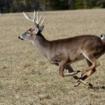 Dr. Jim Nelson Tells Us How and Where to Aim at a Running Buck